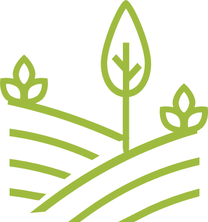
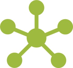
Observe. Share. Analyze.
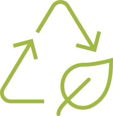
Optimize your teamwork. Accelerate agricultural transition.

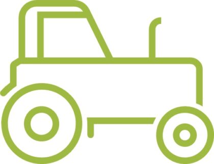
Farmer groups
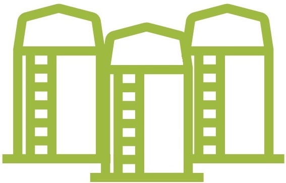
Cooperatives and wholesalers
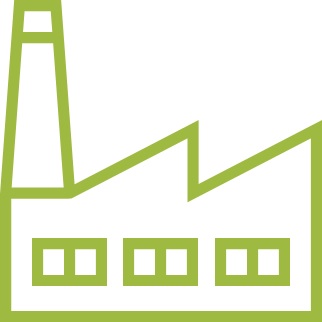
Agri-suppliers and the agri-food industry
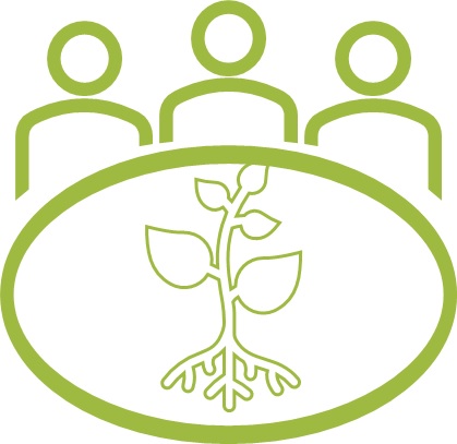
Local authorities and associations
Environmental consulting firms
Technical institutes and research organizations
We are at your side for a sustainable collaborative transition
Intervention follow-up
Farmers need to track their practices on each plot. Thanks to the farm notebook, we offer you a simple tool for documenting your comments and suggestions in just a few clicks. You can invite other peoples to monitor your farm.
Coordination of tests and field surveys
Agriculture requires constant evolution. Farmers become researchers. To increase the effectiveness of your trials, our application lets you pool your field trials and compare your results and observations.
Territory surveillance:
diseases, pests, weeds, biodiversity
Phytosanitary treatment standards are becoming increasingly restrictive, and preventive treatments are detrimental to profitability. With surveillance in your region, you gain in responsiveness and precision
Support for certification
Consumers and the agri-food industry are increasingly demanding quality. To maximize the certification of your farms, we offer you tools to manage compliance indicators.
Leading progress groups
Knowledge of effective solutions is no longer enough: profitability and adaptation to climate change depend on accelerated dissemination of innovative practices. Our application is the ideal support for your workgroups.
Managing plantation projects
The installation of trees and hedges gives access to financing. From the submission of the project by the farmer to the follow-up of the planting of validated projects, Landfiles is with you every step of the way.
Zoom on the features
Landfiles, an application available in web and mobile versions. Landfiles works without a network and without advertising.
Your data is collected in complete security.
Farm notebook
Register your technical references
Publication and sharing
Share your observations with your group
Plot overview
View your history and performance at a glance
Forms creation
Develop your own personalized follow-up questionnaires

Observation programs
Set up collaborative surveillance of the territory

Group animation
Enhance, synthesize newsletters, organize webinars…

Mapping
Build interactive maps with simple indicators
Group reports
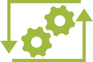
Interoperability
Connect and synchronize Landfiles with your tools
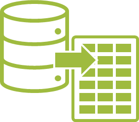
Data extraction
Export your data to a table for independent analysis
Automated controls
Validate compliance with your quality criteria without manual intervention
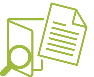
Files follow-up
Structure your official procedures directly in the application

Download the application

What they say about using Landfiles
Testing new technical itineraries
“We can synthesize, we can collect data, we can create technical supports
and it’s extraordinary. There are no limits.” Jérôme, plant cover coordinator of GIEE Champagne
Surveiller les maladies, ravageurs et adventices
and the pooling of our technical observations” François, Ocealia agronomist

Generate technical flashes
“Go further with geolocation, tracking the evolution of a plot,
analysis of data entered, and comment management. In this way, I make extensive use of observation programs.”
Anthony, Agronomy Department, UAPL
Manage crop performance
“All observations are compiled to produce publications, tables, etc. observation reports and maps”. “Landfiles lets you make field observations and share practices within a group. It also enables digital animation: you can comment on publications and interact on observations within a group.
Stéphane Cadoux, Agronomist at Terres Inovia
Acquire technical references on new varieties
“Landfiles enabled us to create a functional group very quickly, with
the possibility of customizing the application to suit our needs, without having to develop a new tool. We wanted to launch a participative approach to monitor the recent deployment of resistant varieties in vineyards. We appreciated the Landfiles team’s responsive support, advice on group facilitation and professionalism.” Xavier, OSCAR project manager at IFV
Study the impact of coating on emergence
“The Landfiles platform gives our territorial animation approach a new dimension.
new dimension, by facilitating the sharing of experience between farmers and the capitalization of field trials. “Anaïs, Agr’eau coordinator at the French Agroforestry Association
A tool adapted to all players
in the agricultural world


(And also: Canada, USA, Brazil)
subscribers
Data collected in 2022
Countries
Shared forms
Groups
They trust us