Collaborative field data collection platform
From field data entry to automated analysis — a single platform to structure, leverage and share your team's field data.
Replaces Excel Replaces Forms Replaces SharePoint Replaces Doodle
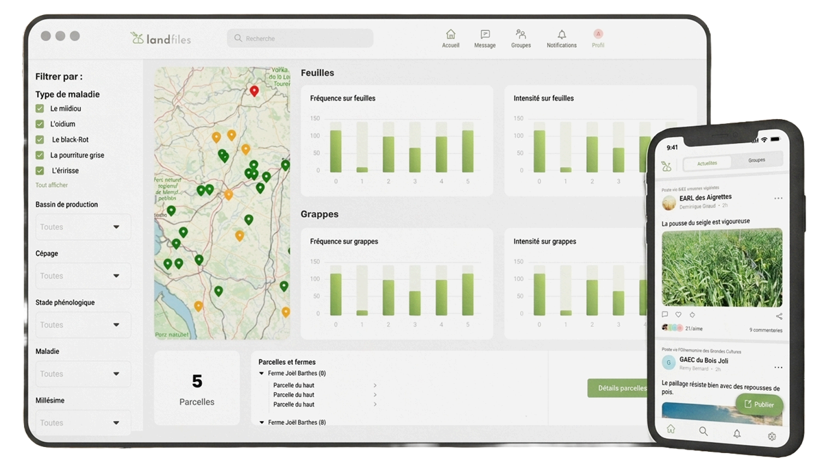
From field data entry to automated analysis — a single platform to structure, leverage and share your team's field data.
Replaces Excel Replaces Forms Replaces SharePoint Replaces Doodle
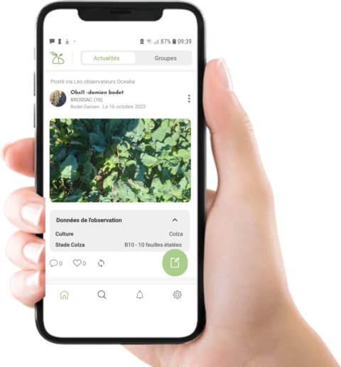
Your team collects structured observations directly in the field, from their smartphone. The app syncs automatically as soon as connectivity is restored.
Built for the field: the app works on weak or no connectivity. Geotagged photos, structured data, free text — everything is captured and synced automatically.
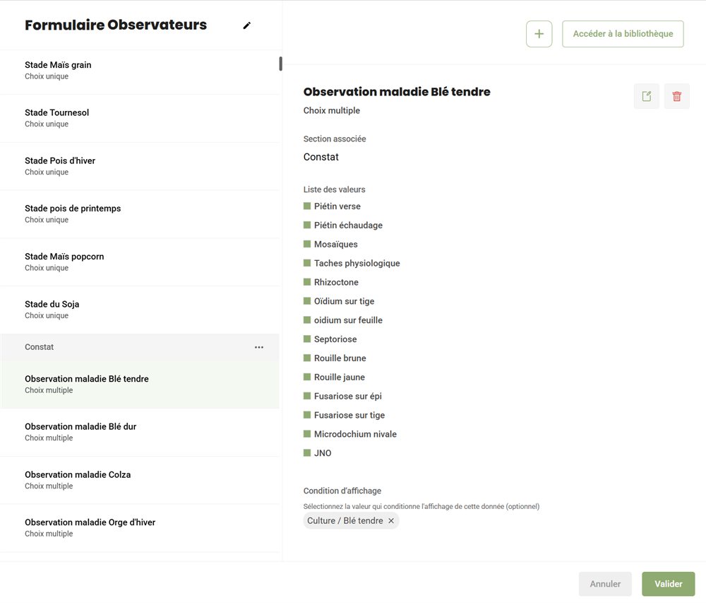
Create as many forms as you need, tailored to each use case. Conditional logic, sections, multilingual support — everything is configurable from the admin interface.
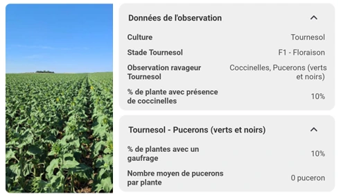
Your data is structured, mapped and summarised. Product databases, plot histories, exports — everything is immediately actionable.
Visualise your data on interactive maps with configurable colour coding. Track results at group or plot level, with charts generated automatically.
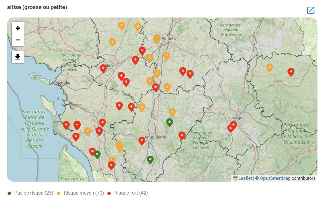
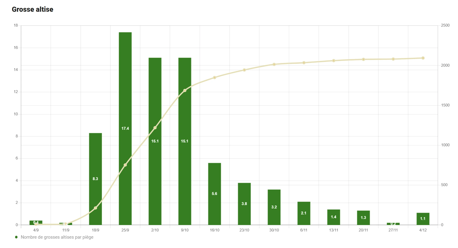
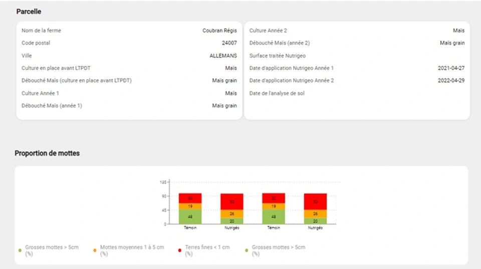
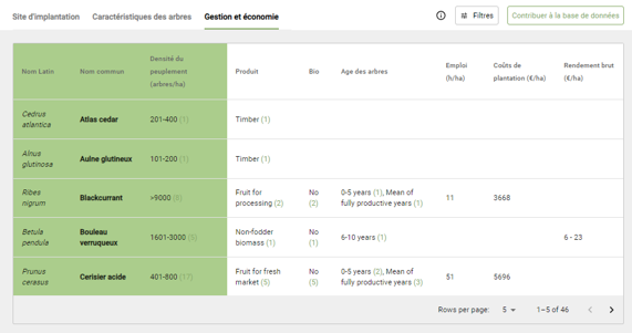
Centralise your product references, client contacts and observation sites. Compare data across multiple criteria and share them with colleagues.
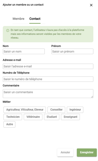
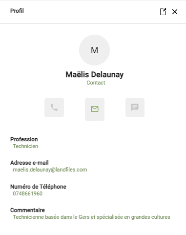
A shared document library, team events, automated newsletters — the tools to centralise knowledge and keep your team connected.
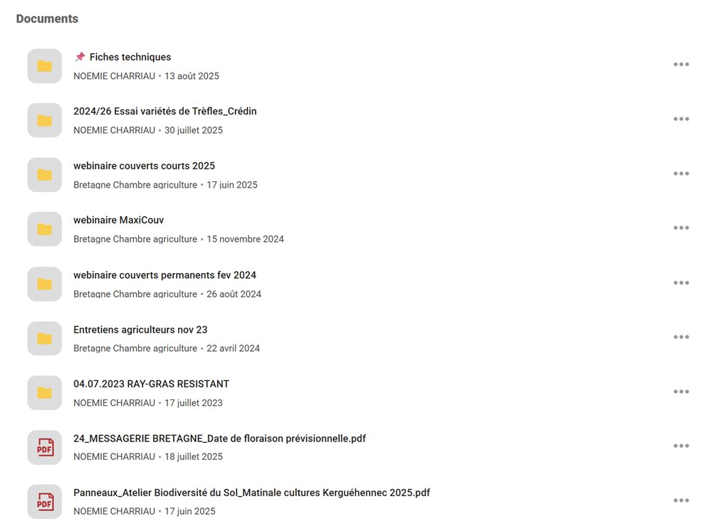
Centralise your reference documents in a space accessible to your entire network. Organised by topic, with identical access on web and mobile, and instant search.
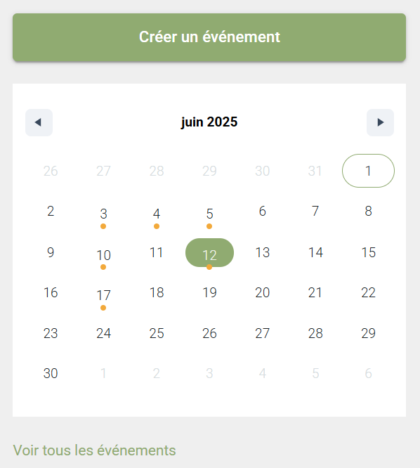
Organise field events and track attendance directly from the platform. Replaces Doodle for team coordination.
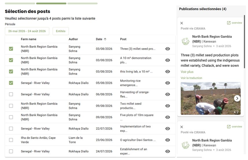
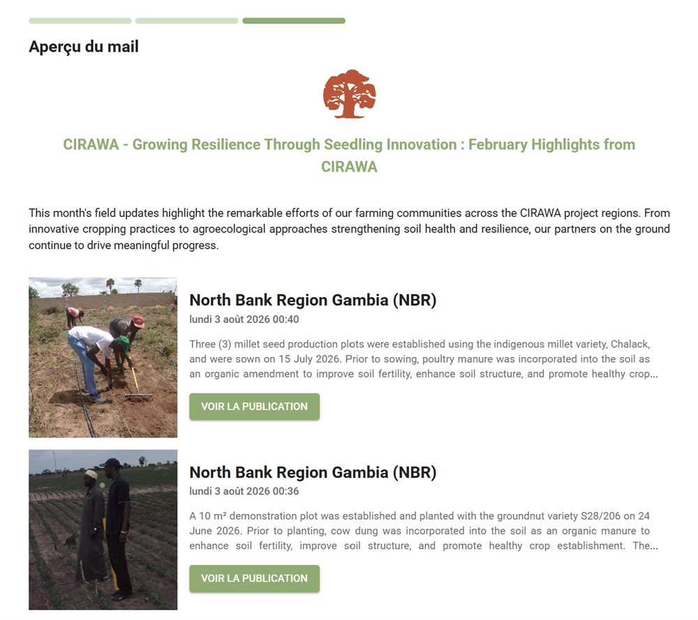
Create and distribute newsletters to your group in 2 minutes. Highlight key observations with direct links to the underlying field data.
Landfiles connects to your existing tools — no more double entry.
Tailored exports in your preferred format
Access your data from your own applications and data lake
Embed our maps and reports directly into your application
Access your workspace or browse our getting started guides.


"Landfiles has saved us time on data entry while making our data much easier to use. It replaced our paper-based and Excel tracking. Each sales rep logs their visits and can quickly retrieve photos and notes to share with clients."

"The real change has been the efficiency of information flow and data sharing. We moved from a system where our technical lead would email observation programmes manually — with a lot of guesswork in pooling and synthesising the data — to a fully digital process for sending programmes, collecting observations and generating summaries."View the case study →
"Landfiles allows us to go far beyond simple exchanges between technicians. Every week, I adjust the observation topics, and pooling the results generates maps covering our entire territory. I can now produce all my technical bulletins from maps, photos and data collected during the week. The team sees their work put to good use and properly valued."
Let's discuss your needs. We'll show you how Landfiles adapts to your workflows.
Request a demo →